


Islands of the Azores: Basalt Peaks to Volcanic Vineyards
Towering basalt peaks, bubbling hot springs, emerald-green farmlands, fascinating seafaring history, world-class wine and cheese and captivating fado music—this is just some of the beauty and vitality you’ll discover as we explore the dramatically beautiful Portuguese archipelago of the Azores aboard the state-of-the-art National Geographic Endurance.
Highlights


Go whale-watching, follow scenic hiking trails, and learn of the volcanic history unique to the Azores
Soak up Azorean culture, sampling local wine and cheese, and dine on a delectable local specialty: a stew cooked underground by volcanic heat
Discover the varied past and the stories of explorers, whalers, and conquerors who all had a part in weaving the tapestry of island history
Experience the commitment the locals have to sustainable growth and protecting the natural beauty and ecosystems of the archipelago
Aboard National Geographic Endurance, take advantage of the ship’s state-of the-art amenities, from wellness programs and spa treatments to gourmet dining options
Join Nicholas Kristof on the April 2, 2025, departure

Nicholas Kristof
Two-time Pulitzer Prize-winning journalist
From
$10,940
/ per person
Does not include any flights
View our brochure for more details

Explorations 2024-2026
From
$10,940
/ per person
View our brochure for more details
Explorations 2024-2026
Video
Explore with NG Experts - Sisse Brimberg, NG Photographer
- Apr 2024
As a National Geographic Photography Expert, Sisse Brimberg's goal is not just to teach guests how to use a camera, but to show them how to take meaningful photos that convey a story. “It's very rewarding to me when people's eyes are opened and they're impressed with what they can achieve,” says Brimberg. In this episode of Explore with National Geographic Experts, she discusses the art of visual storytelling and shares tips for capturing the narrative and memories of a destination—whether that's the emerald green pastures of the Azores, or on her upcoming expeditions to the stunning icy landscapes of Antarctica and the Arctic.
Dates & Rates
Ships

National Geographic Endurance
Guests
138
Cabins
76
The most advanced ice-class expedition ship afloat offering unprecedented access to polar regions
The first new polar build in Lindblad’s 50-year history, National Geographic Endurance is named to honor explorer Ernest Shackleton and his legendary Transantarctic Expedition. A fully-stabilized vessel of ice class PC5 Category A, she will enable adventurous guests to go where few have or can. National Geographic Endurance’s most striking exterior feature is her distinctive profile, the patented X-Bow®, a game-changing design that guarantees the smoothest, most comfortable ride in all kinds of conditions; and since it eliminates bow impact, a quieter ride, as well.
Book now and join us on an unforgettable journey
Make a reservation
Talk to an Expedition Specialist
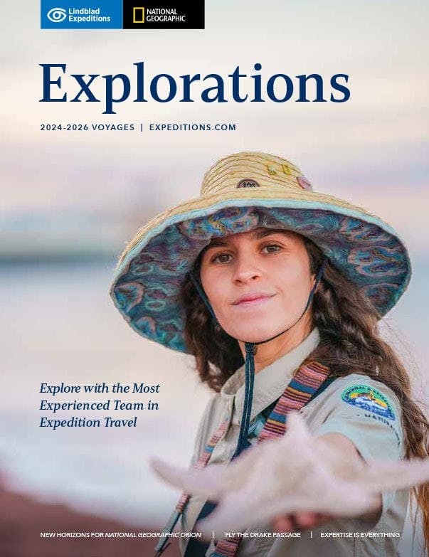
Expedition Team
Over 50+ years of exploring, Lindblad Expeditions’ veteran staff and the quality companionship they provide has established the company’s reputation. From expedition leaders to naturalists, most hold advanced degrees and are established authorities in their fields. Some join a few expeditions each year to explore the same sites, some of them spending some time in the field away from rigorous academic work. And others lead expeditions all around the world—with many guests saying, “Where you’re going, we’re going,” and returning time after time to travel with them. Browse our team directory to discover the full cast of expedition staff.

Special Offers

SUITE EXCLUSIVES

10% OFF BACK-TO-BACK VOYAGES

BRINGING THE KIDS

CELEBRATE LIFE'S MILESTONES

SAVE 5% TRAVELING AS A GROUP

COMBINING OFFERS
Combine now and save!
View our brochure for more details
Explorations 2024-2026