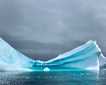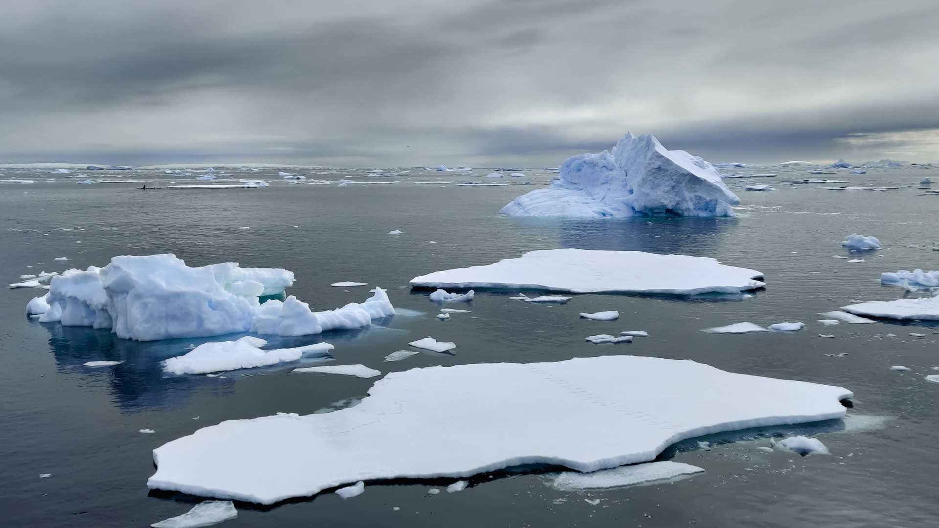
This morning, after successfully crossing the Drake Passage, we awoke surrounded by spectacular scenery. In the distance were magnificent snow-covered, craggy mountains and all around the ship were ice sculptures. This included giant tabular bergs, ice bergs, bergy bits, growlers, and ice floes. And, on the ice floes and swimming around the various bits of ice were many species of wildlife, including humpback whales, killer whales, crabeater seals, leopard seals, Weddell seals, and fur seals. In addition, skuas, snow petrels, giant petrels, and Wilson’s storm-petrels continually circled and followed our vessel as we worked our way through the ice field.
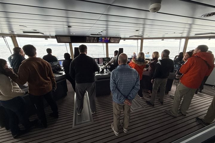
There was more. Conditions allowed us to reach the Antarctic Circle…something few people get the chance to do. We crossed the Antarctic Circle just after breakfast and everyone came out onto the bow to witness the event and make a toast. The Antarctic Circle is defined by natural phenomena. It is a latitudinally positioned line (usually shown as a dotted line on maps) that encircles the globe. Earth is tilted on its rotational axis by precisely 23.44° relative to the vertical plane of its orbit around our sun (this angle is also called the obliquity of Earth). On the day of the Austral Summer Solstice (which is December 21st), the South Rotational Pole faces in its most direct position towards the sun. Therefore, a person located anywhere less than 23.44° from the South Pole during the Austral Summer Solstice would be able to see the sun continuously for 24 hours…as Earth makes one complete rotation. The latitudinal position that corresponds to 23.44° from the South Rotational Pole is precisely 66° 33' 39" S, which is also written as 66° 33.65' S. This latitudinal position is known as the Antarctic Circle. The exact same phenomenon holds true for the northern hemisphere but occurs exactly six months later. Therefore, the Antarctic and Arctic Circles demarcate the territories that experience at least one complete day of direct sunlight at the summer solstice, and at least one complete day of no direct sunlight at the winter solstice, each year. Of course, the closer one is to the rotational pole during the Austral Summer, the more days of total sunlight one enjoys.
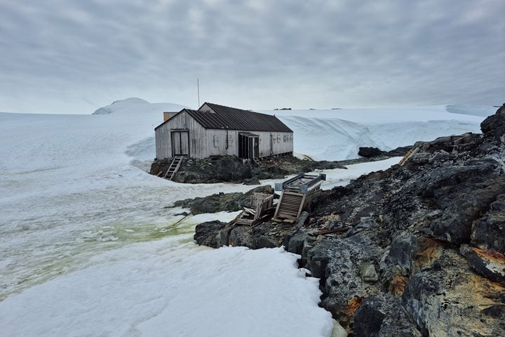
Since the weather and ice conditions were both in our favor, we continued even farther south beyond the circle to Detaille Island where we were able to go ashore in the middle afternoon. There is a BAS hut here that was used only from 1956-1959. Base W, as it was known, was built to partake in the International Geophysical Year of 1957, and was designed to study the sea ice, but ice conditions soon proved to be unsuitable for the work originally intended. Base W was ice bound for most of 1958 and through the Summer of 1958-59, and their supply ship could only get to within 30 miles of the base. It was decided to evacuate the team of 10 scientists, who only had an hour or so notice, and the base was abandoned. Lindblad Expeditions first visited the site in 2001 and we found it in serious need of repair. At that time, we formed a team composed of crew, staff, and guests and cleaned out the snow drifts and secured the broken windows and door in order to protect it from the elements. Fortunately, the hut is now an unmanned museum, thanks in large part to efforts made by Lindblad Expeditions, and it is a fascinating time capsule of a 1950s era Antarctic base. A look around inside convinced everyone they left in a hurry. In addition to skuas and kelp gulls nesting on the rocky knolls near the base hut, small colonies of Adelie penguins could be seen at the far ends of the island.
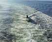
Glass calm conditions in the late evening induced us to go out in the Zodiacs after dinner for some amazing ice cruising. We even landed on a large ice floe for a different sort of experience. The late sunlight made for beautiful photography among the ice formations, and our ship looked especially radiant in the low glow.