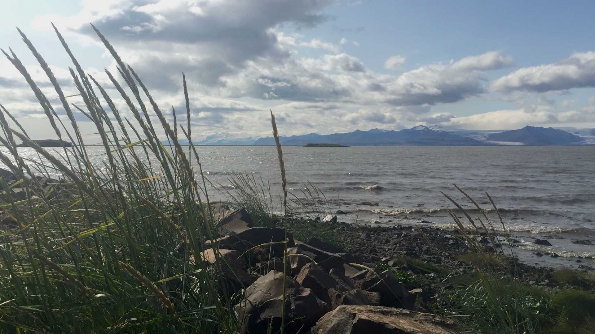
While elsewhere on our circumnavigation of Iceland the country’s icy history has been evident in the deep fjords, spectacularly carved u-shaped valleys, and residual moraines. The southeast region is dominated by active glaciers. The island’s tallest mountain range, coldest temperatures, and greatest rates of precipitation occur here, a combination that allows vast quantities of snow to accumulate at elevation to fuel this mighty and extensive (8% of Iceland’s area) ice cap. Our drive along the Ring Road from Djúpivogur to Jökulsárlón passed exposed volcanic craters, landslides, sand bars, colorful rhyolite hills, braided rivers, and historic fishing villages. Whooper swans by the hundreds gathered along the marshland edges of the sea in advance of their fall migration to Ireland.
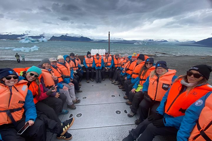
All of Iceland’s glaciers are presently retreating at rates never before seen. Breiðamerkurjökull, the outflow lobe of Vatnajökull we visited, loses 200 to 300 meters from the face each year. However, calved ice remains in the Jökulsárlón meltwater lagoon until small enough to drift out to sea without stranding in the shallows. Thus, icebergs of all shapes and sizes are readily visible from shore and amphibious boat. As the glaciers retreat, coastal lands are rising at 1.7 cm per year, creating new shorelines and shifting the shape and depth of important harbors.
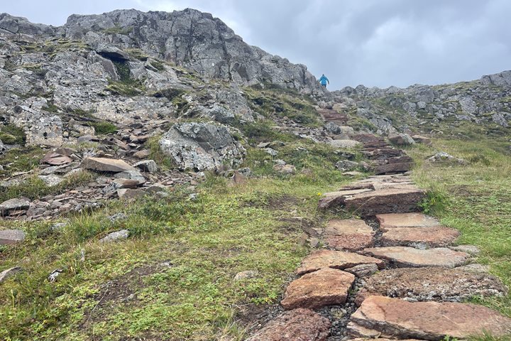
Other tours in the Djupivogur region explored the beautiful and diverse scenery, from strolling the beach to hiking along cliffs to visiting waterfalls by Superjeep. Some met with local artists and viewed unique local sculptures. All made the most of this windy day as we continued our adventures around Iceland.