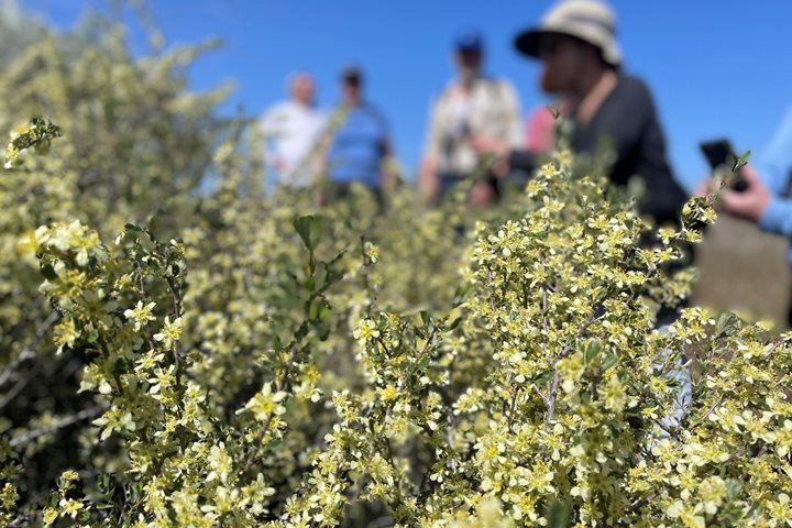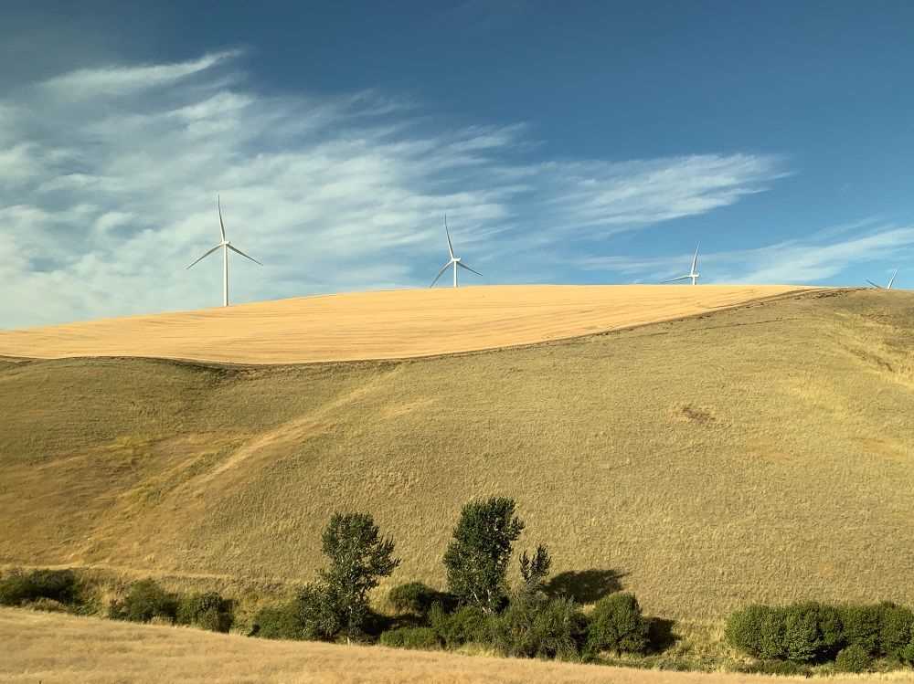
Today we are aboard the “National Geographic Land Lion” motor coach, following the reverse overland route used by Lewis and Clark and their Corps of Discovery in early 1806, as they returned eastward, avoiding the spring floods on the Columbia and Snake Rivers. We traveled westward, climbing out of the Snake River Valley onto the Columbia Plateau, a vast upland province formed by the repeated Miocene flood basalts, layer upon layer of repeatedly erupted and cooled lava flows. Wind-blown loess soils have accumulated atop the basalt layers, and while some areas have been scoured clean by the ice age floods of glacial lakes Missoula and Columbia, these deep soils remain on the high hills through which we travel. Predominantly natural grasslands, this is one of the richest wheat producing areas of the country, and we passed through many picturesque farming towns; Pomeroy, Dayton, Waitsburg, on our way to Walla Walla, Washington (so much fun to say, over and over).
We stopped at Patit Creek, one of the Corps campsites, with a sculptural reenactment of their presence. Historian Don Popejoy regaled us with historical stories of the Lewis and Clark expedition throughout the day, while Naturalists Larry Prussin and Rob Edwards added color commentary on the natural history of the region. Our second stop was at the Whitman Mission, with a brief yet tragic history as a mission and Oregon trail wayside. Here, in the mid-nineteenth century, disease and cultural misunderstanding resulted in the murder of the Whitman family, setting the stage for the subsequent Native American treaties and wars later in the century.
Our lunch stop in Walla Walla deliciously highlighted the local farm bounty with veggies, fruit, meat and beverages all produced in the area. After lunch we quickly descended into the Columbia River Valley near the junction with the Snake River, driving through Wallula gap at roughly the same highway speed as the raging waters of the Lake Missoula floods. Here the narrow gap constricted the flooding river such that the waters were temporarily backed up a thousand feet deep and dug out the canyon walls through the entire gorge all the way to the present site of Portland, Oregon.
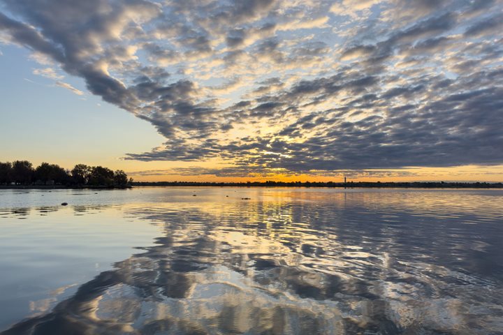
An afternoon break at Hat Rock was next, so described in the journals of Meriwether Lewis because the hard capstone had been eroded to mimic the latest in fashionable headgear (of 1800). Later we rolled into The Dalles, an interesting Oregon city spanning much of western economic trends, from indigenous peoples trade and fishing center, to supporting the Oregon Trail pioneers, to agriculture, shipping, and road development, to the massive hydroelectric damming projects, and now to high tech data centers and the physical manifestation of the internet cloud. How appropriate then, that this is also the beginning of a meteorologically mediated westward transition from arid shrub-steppe to the Pacific Northwest temperate rain forest, all within less than a hundred miles. We finished the day with a lovely catered dinner, watching the sunset over the Columbia River Valley.