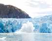
Our day started in the Whale Museum in the charming town of Húsavík. Life-sized whale skeletons suspended in the air gave a feeling not only for the size of these mammals, but also for how they might move in their oceanic space whilst alive. The museum also tells the story of whaling and whaling stations in Iceland since whale oil and meat used to be very important exports. Before the land was settled in the 9th century, people may have used Iceland as a resource outpost over the summer, gathering what they could and bringing it back to the mainland for winter: whale products, eggs, bird meat, fish etc.
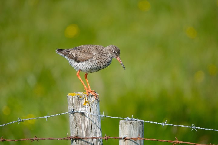
We headed to a province by the name of Mývatnssveit. It is named after the lake, Mývatn. The lake was once very important for survival, since the river and lake had both fish and fowl; nearly all duck species that nest in Iceland can be found there. In this area, the climate is the closest you can get to continental. The summers are warmer than elsewhere in Iceland – which is very good for farmers – but the winters are also cooler. The lake is shallow and takes its name from midges that hatch there. The larvae are a crucial link in the food chain. They are, to a large extent, the reason so many species of birds choose to make the lake their home. Furthermore, diatomaceous earth makes up a part of the lake bottom, and there you can also find marimo, a rare form of green algae.
Mývatnssveit lies on the boundary between the North American and Eurasian continental plates, and the area has experienced innumerous earthquakes and volcanic eruptions. On our way, we saw clearly how a mountain was torn in two by the plate divergence. We passed the hydrothermal power station Kröfluvirkjun, and we saw forty-year-old lava from the Kröflueldar eruption series. This series almost reached the power plant before the eruption ended. We walked along the rim of an explosion crater, which is aptly named Víti, or in English, Hell. As if it were not enough to go to Hell, we moved on and went to Mars. The sulfurous fumaroles and mud pots at Námaskarð don’t look like anything you would expect to see on Earth. The colors of the area were amazing, ranging from grey through beige to red, with dabs of copper green and crystals of neon yellow. During the Middle Ages, Iceland mined this area and exported sulfur to Denmark for gunpowder.
Our lunch venue provided a splendid view over the lake and the surrounding lava fields. In the distance, various volcanoes decorated the horizon, and we could even see all the way to the glaciers in the very center of the Icelandic highlands. Part of the group went hiking up Hverfell, a 2,700-year-old tephra cater, which is a protected monument. It is one of the largest of its kind at more than 3,000 feet across from rim to rim and more than 6,000 feet at the root of the mountain. The inside of the crater is almost as deep as the crater rim is high, some 1,400 feet over the surrounding area. The slopes are steep, so it took us some energy to ascend. The magnificent view over the whole province was well worth it.
Next up was a stroll through Dimmuborgir to view the 2,300-year-old remains of a large pool of lava. It is estimated that the pool was around 33 feet deep before it emptied out, leaving behind a “forest” of solidified lava stacks. The area is well sheltered from wind and full of downy birch, willow, and sweet-smelling alpine flowers of various kinds.
The last place we visited in Mývatnssveit was Skútustaðagígar. These are 2,300-year-old pseudo-craters, which are created when lava flows into water, resulting in steam explosions. These natural phenomena are only found in Iceland and in Hawaii – oh, and also on Mars. The craters have been protected since 1973. Since they provide birds with excellent habitats, they make a wonderful stop for birdwatchers.
On our way to Goðafoss, farmers were happily turning and drying hay after a long period of rain. This waterfall in the river Skjálfandafljót is the shape of a horseshoe, and it is 100 feet across and almost 40 feet high. It is one of the most voluminous waterfalls in the country and a worthy subject for serious photographers.
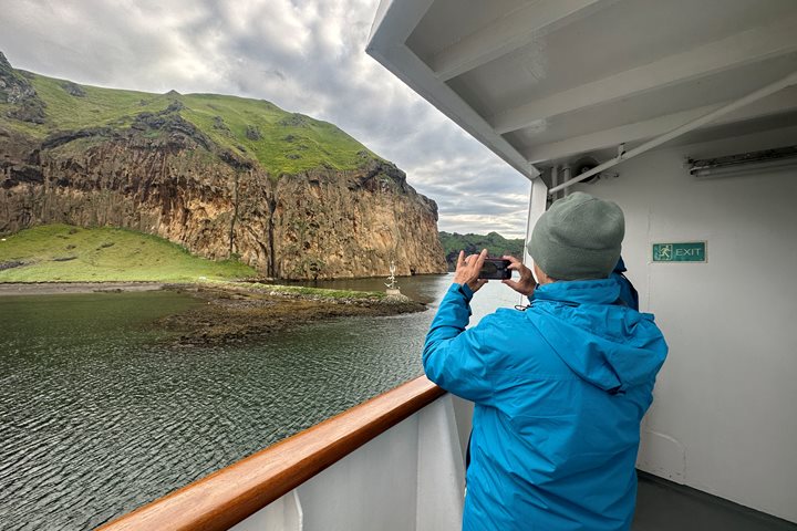
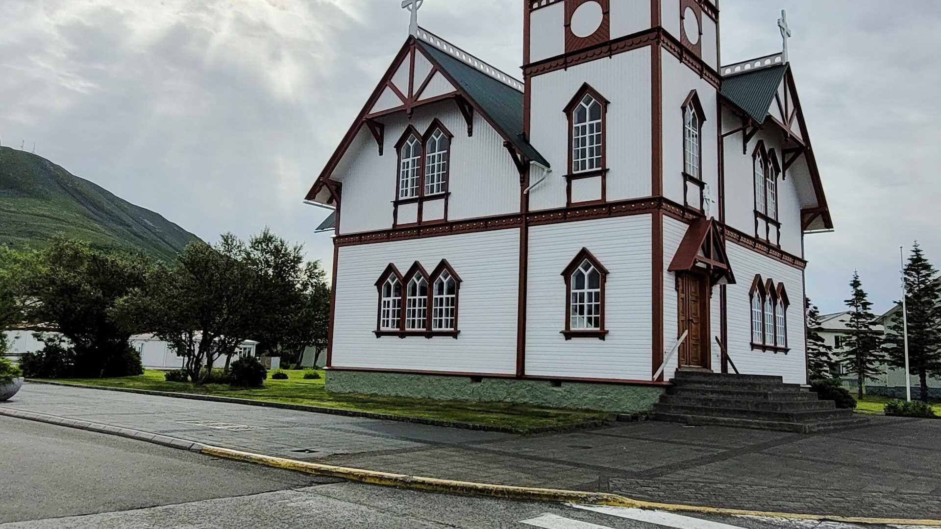
After a long day of travel, we reached the town Akureyri, northern Iceland’s capital with almost 20,000 inhabitants. Some guests squeezed in a walk through this charming town where the traffic lights are heart shaped before returning to National Geographic Explorer. So ended yet another day of our Iceland adventures.