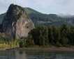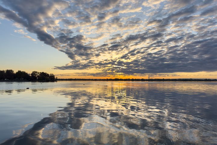
Following the natural flow of the river, overnight we have travelled downstream, through two locks and dams to Lyons Ferry, WA. The morning dawned clear and cool, with wisps of mist drifting along the water as we began our exploration of the Palouse River, here at its confluence with the Snake River, and Palouse Falls, a short coach ride upstream. This area exhibits strong evidence of the massive glacial floods, from bare basalt cliffs to deepened canyons. The flooding swept this area thousands of years ago, shaping the entire river basin through which we are travelling this week.
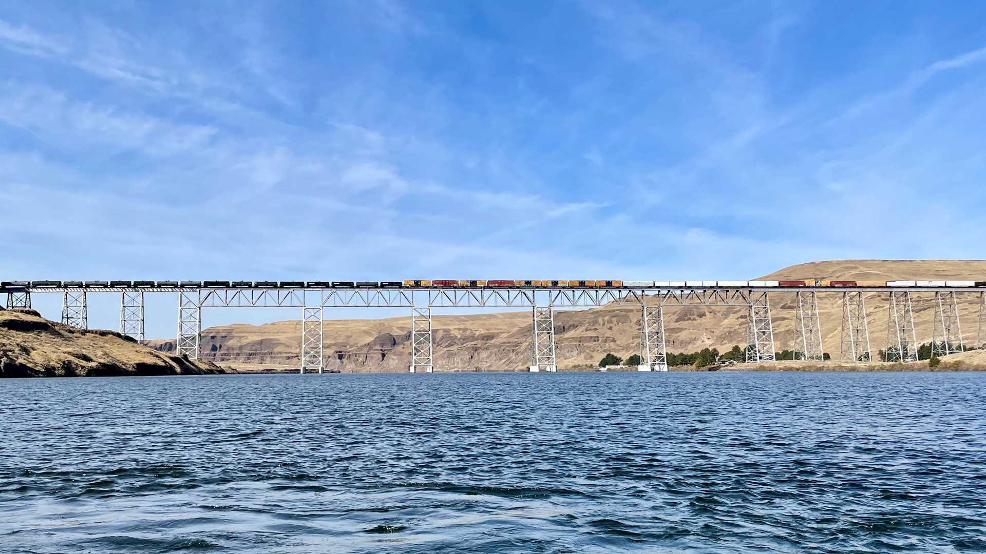
After lunch we renewed our downstream transit, steaming past dark basalt cliffs and broad grassland hillsides. At first glance we can imagine we are seeing the landscape just as Lewis and Clark saw it more than 200 years ago. Historian Patrick MacQuarrie gave us his insights into their journey up to and through this land. Indications of the extensive ranching and farming currently in the Palouse Region is mostly subtle from river level. However, we know the river itself has been dramatically changed in the last half-century by dams and impoundments – quite apparent as we moved through two more locks prior to approaching the final miles of the Snake River this evening, just before it empties into the Columbia River’s main stem.