First thing this morning, National Geographic Sea Lion entered Security Bay located on the northwest corner of Kuiu Island. The intriguing name is related to an unfortunate historical incident that occurred here in 1868, when USS Saginaw came to the bay and destroyed a Kake Indian village in retaliation for the killing of two white prospectors by Indians. The prospectors had been killed some months earlier in nearby Murder Bay (named after the incident) after the fatal shooting of a Kake Indian in Sitka.
Kuiu Island was at one time a stronghold for Kake Indians and the numerous villages once populating the territory. However, Kuiu is known now for its population of black bears, possessing the highest density of this species in the country. Despite their prevalence on the island, they are quite shy: Only one mother and cub pair were sighted on the shoreline during the morning, and then only for a few brief moments.
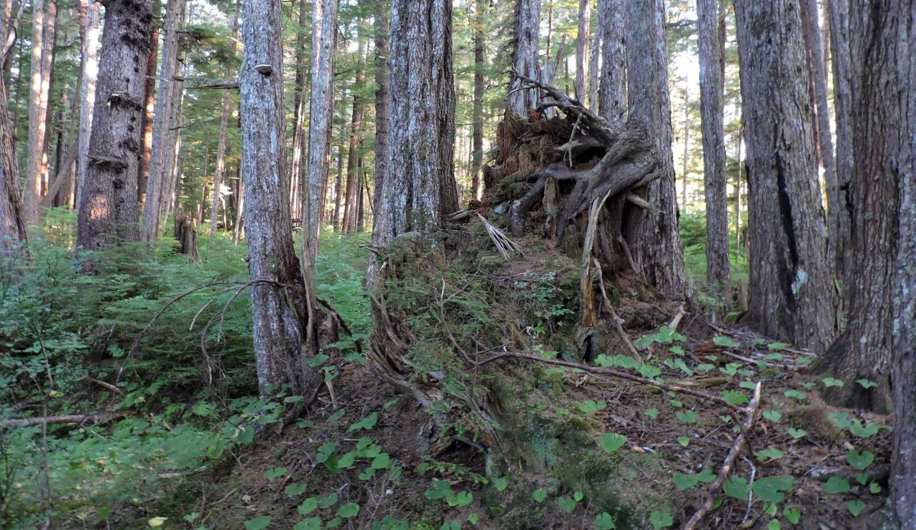
Hikers explored and bushwhacked their way through the beautiful dense forest (Figure A), following indistinct bear trails, and then a bit further examining the tidal zones comprising the area’s marine ecosystem. Kayakers and paddleboarders meanwhile treaded the inshore waters and Zodiac cruisers the innermost portions of Security Bay, who ultimately found themselves in the company of sea otters (Figure B). Being in entirely new territory, visiting this space was a true point of expedition for our group. All along the shallow river shores, we saw adult salmon bounding, gathering up in preparation to head upstream in the regional rivers for spawning.
Kuiu Island lies within the Alexander Terrane, a geological formation once part of a long island arc made up of volcanic islands that drifted northward and were compressed into what is now Alaskan Archipelago, some rock deposits of which date back greatly between 165 and 100 million years old.
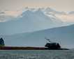
In the early afternoon we left Kuiu Island and sailed westward across Chatham Strait to reach Baranof Island (Figure C). Chatham Strait is a massive, glacially carved waterway, and as a fault it serves to separate Alexander Terrane from Chugach Terrane. Baranof Island falls within the Chugach Terrane, which is composed of sea floor sediments that have been changed into rock and swept up against the North American Plate in the region of Southeast Alaska. The oldest Chugach rocks were formed more than 500 million years ago while the youngest date to 240 million years in age.
National Geographic Sea Lion sailed directly into Red Bluff Bay – a spectacular narrow waterway that forms a seven-mile-long indentation in the eastern side of Baranof Island. This highly photogenic fjord is surrounded by mountainous slopes blanketed over in dense forest, apart from the exposed red sandstone bluffs (Figure D) near the entrance and the higher regions of bare, rocky terrain. It was interesting to see regions composed of limestone mixed in with the sandstones. We were amazed to see masses of lion’s mane jellyfish throughout the bay and enjoyed seeing a school of pink salmon near a beautiful waterfall on the south wall (Figure E).
We returned to Chatham Strait in the mid-afternoon and headed northward in search of whales and en route to Glacier Bay National Park. A scattering of individual whales was sighted as we sailed forth, and right after dinner, a humpback pair was found actively feeding on herring near the surface. We watched them blowing and making shallow dives, and often erupting partway out of the water with open mouths and stretched throat pleats (Figure F). This was the perfect end to a very enjoyable day.