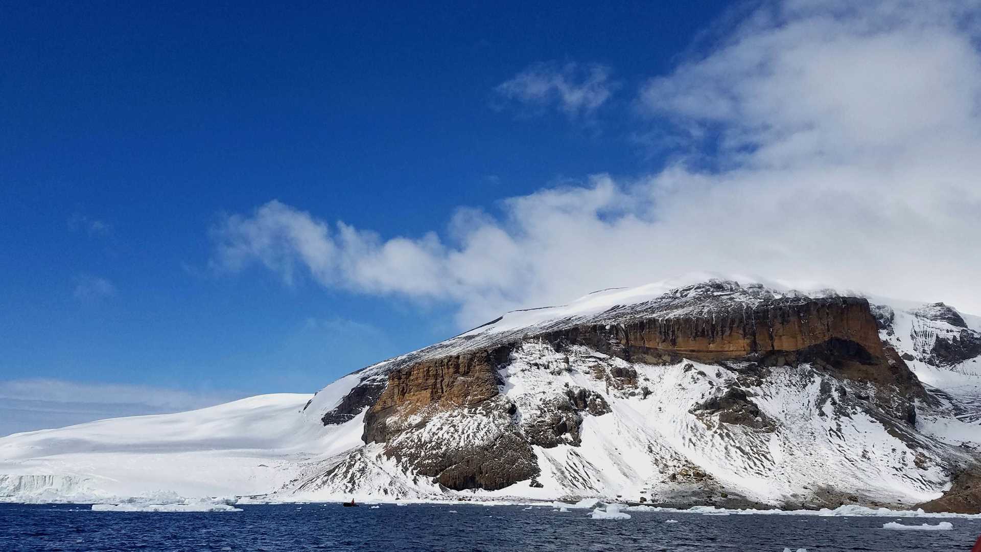
This morning, we awoke to brilliant sunshine in the bay surrounding Brown Bluff. Sparkling sea ice of all shapes and sizes decorated the waters, as if nature herself were preparing for Christmas. We spent an hour and a half ashore at Brown Bluff visiting a large colony of Adélie penguins (estimated to consist of more than 20,000 birds). Both on land and from the Zodiacs, we could see penguins everywhere—on the beach, carefully tending to nests and newly-hatched chicks, and dotting the steep rocks of the bluff. Adélie penguins are fascinating little creatures, and the adults can be recognized by distinctive white patches around their eyes that contrast with their dark heads and bodies.
They stick together, not necessarily out of affection for their neighbors, but rather as a means of protection. As a primary prey of leopard seals, these little birds gather in groups on the shore and dive in to search for food only when the group has grown large enough that any one penguin’s chances of becoming a seal’s next meal is fairly small. The seals observe the penguin colony’s habits and, when hunting, they hide behind icebergs ready to capture and eat the unluckiest of the bunch. This morning, we observed a successful seal in action, as we happened upon the hungry predator devouring a penguin that he had caught just off shore. Although it can be sad to see an animal become another creature’s dinner, observing this process was a powerful reminder of the interdependent relationship between the many species living in the rich, yet fragile ecosystem of Antarctica.
On the shoreline we observed gigantic boulders that clearly came from the top of the volcano’s distinctive flattop structure. How do we know? If you take a look at the striations, or lines, within the rocks on top verses those on the shoreline and compare their direction they provide evidence that can assist in drawing that conclusion. Of course weathering and erosion can also cause striations, but it is the layering (and classification) that helps us identify the original location of the rocks and the rock types.
The rocks we saw were igneous, both intrusive and extrusive. Intrusive rock cools very slowly allowing crystal formation to be large, but much of what we saw on the shoreline was extrusive, meaning it cooled pretty quickly, forming smaller crystals. Since this volcano was sub-glacial (meaning it formed under a glacier) we know it was quite cold, assisting in quick cooling of magma. Pumice could also be spotted today on the rocky beach as well as obsidian.
The massive boulders on the shoreline are known as tuff (a type of extrusive igneous rock). They came from the top of the volcano, usually ejected by very explosive eruptions or the wind blowing them; the farther out they are the more likely they were ejected out by an enormous volcanic eruption.
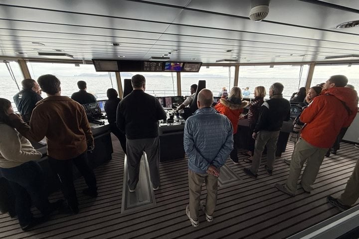
In the afternoon, we explored the Weddell Sea and navigated into the Antarctic Sound, which is 35 miles long and 12 miles wide. We encountered a massive tabular iceberg while coasting through “Iceberg Alley.” In contrast to other icebergs, tabular icebergs break from an ice shelf and are identified by their immense height, flat top, steep sides, and horizontal banding. Smaller non-tabular icebergs are called “growlers” or “bergy bits.”
The horizontal banding along the sides of the tabular icebergs show the layers that have built up over time and reveal details about the age of the ice. Reaching several hundred meters above and below the sea level, we could not identify where this iceberg broke off, but any iceberg that is 12 x 12 miles across is assigned a name by the US National Ice Center. Names are based on the location where the iceberg initially broke off. Since this tabular iceberg shown above was already floating on top of the water, it did not increase sea level when it broke off.


