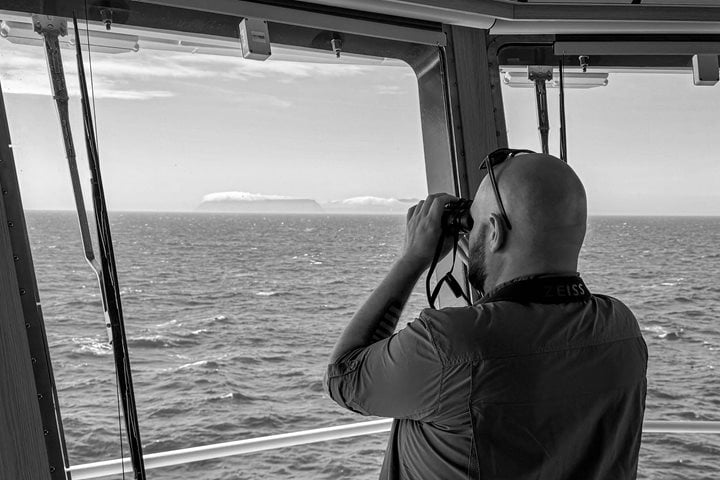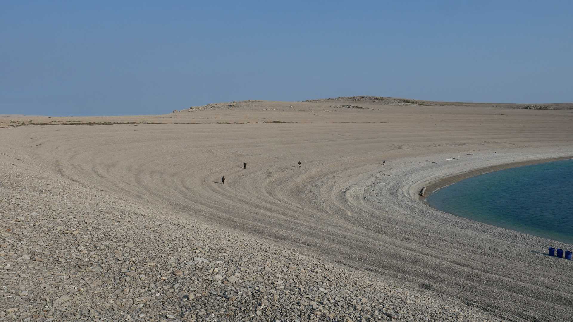
We awoke to yet another sunny day aboard National Geographic Resolution as we made our way west through Dolphin and Union Strait. During breakfast, we anchored in the protected harbor of Sutton Island. The island began life as a pair of small shoals with a bit of rock poking up. Over a few thousand years, isostatic rebound has raised the land and joined the two small islets into a single, larger island. The island has grown over time as the shoreline was elevated and what was once shallow ocean floor became dry land. The process is ongoing. Today, Sutton Island is composed of a long series of limestone gravel beach ridges that extend from the modern shore almost to the top of the island. As one walks uphill, one walks on older and older beaches, effectively walking back through time.
The island has been used for thousands of years by people intercepting the migrating caribou that travel between Victoria Island and the mainland. The island functioned as part of a caribou hunting system, with animals being funneled into areas with poor footing where they were easier to take because they could not move quickly. Hunters waiting in blinds used a lance or a bow and arrow. Caribou taken in the fall were cached as the temperatures dropped below freezing. People who traveled to the island to hunt could then retrieve them when the sea froze for the winter and then travel over ice by dogsled or snow machine became possible.
Hunting blinds, caches, and ancient house remains from the Dorset culture are present in large numbers. There are fewer houses from the later Thule Inuit people, though warmer-season tent rings located closer to the water’s edge suggest that the island was used sporadically in more recent centuries. For the Thule and recent Inuit, who were more mobile, it seems likely that they made seasonal forays to the island but did not overwinter.